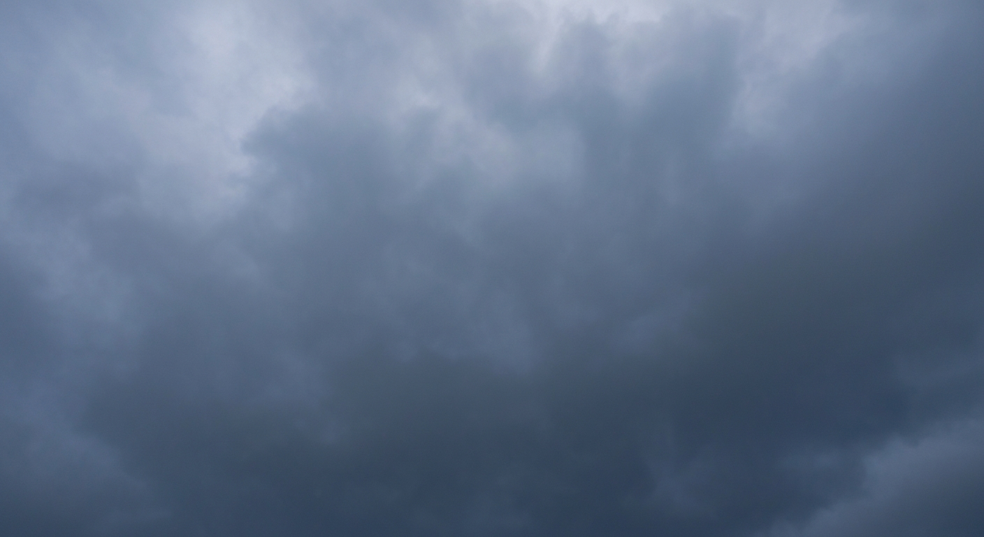
Flood Watch: Lee's Summit Area
Lee's Summit, Missouri — Thunderstorm expected today with a high of 82°F and a low of 49°F.
⚠️ Active Weather Alerts
- 🟠 Flood Watch: Flood Watch issued April 17 at 1:42AM CDT until April 18 at 4:00AM CDT by NWS Kansas City/Pleasant Hill MO
- You should monitor later forecasts and be alert for possible Flood
Warnings. Those living in areas prone to flooding should be prepared
to take action should flooding develop.
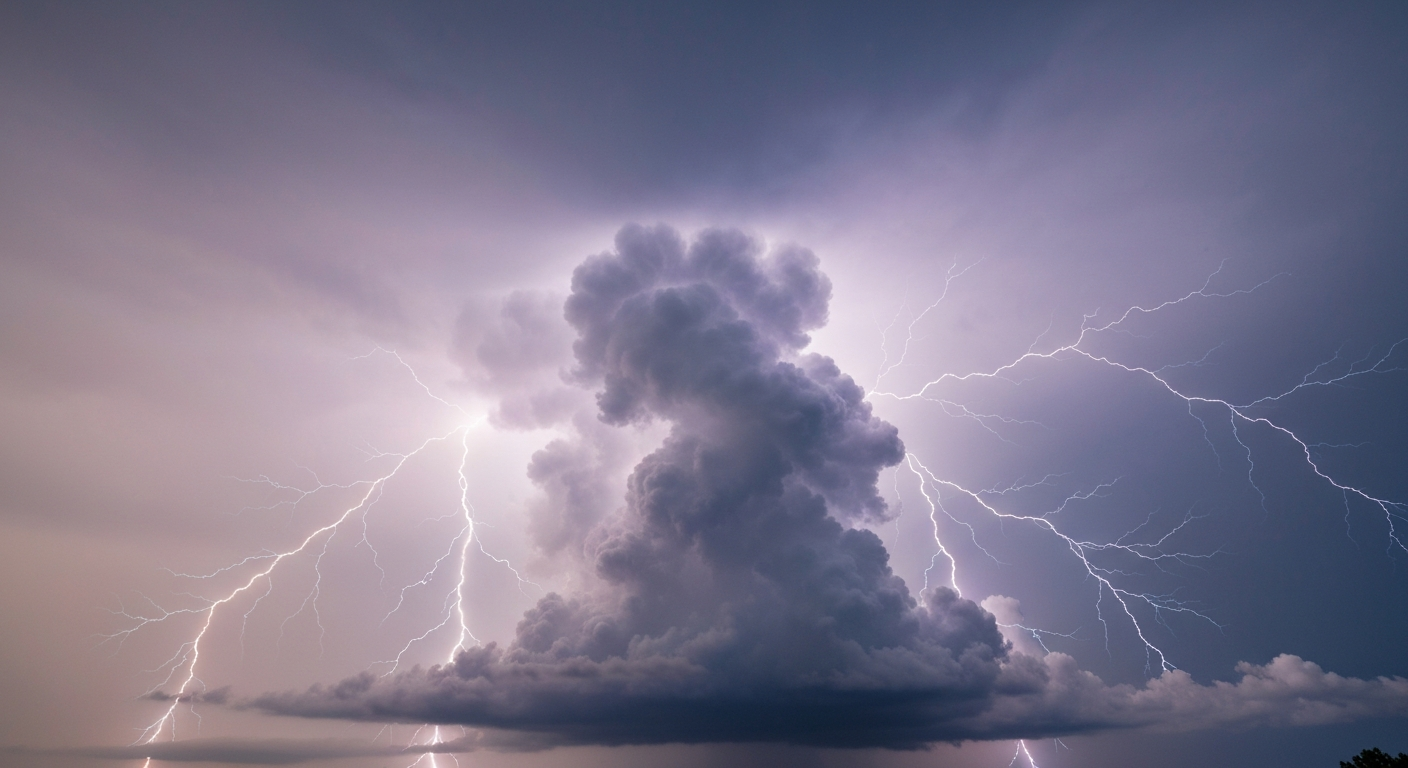
Today's Forecast — Friday, April 17
- Conditions: Thunderstorm
- High / Low: 82°F / 49°F
- Wind: SSW 22 mph, gusts to 42 mph
- Precipitation: 68% chance, 0.34 inches expected over 4 hours
- UV Index: 6.6 — High — sunscreen recommended
- Sunrise / Sunset: 06:37 / 19:56
- Daylight: 13.3 hours (9.0 hours of sunshine expected)
What Matters Most Today
- Rain focus: 68% chance, peaking around 7PM.
- Expected rainfall: about 0.34 inches.
- Wind impact: gusts up to 42 mph.
- Sun safety: UV index reaches 6.6; sunscreen still matters even with cloud cover.
- Best outdoor window: Morning (lowest average rain risk).
Comfort & Conditions
- Humidity: 74%
- Dew Point: Up to 66°F — muggy conditions
Hour-by-Hour Breakdown
- Morning (6AM–Noon): Clear sky, 71°F, winds 17 mph, 82% humidity
- Afternoon (Noon–6PM): Thunderstorm, 81°F, 45% chance of precipitation, winds 20 mph, 60% humidity
- Evening (6PM–Midnight): Overcast, 59°F, 68% chance of precipitation, winds 15 mph, 80% humidity
Air Quality & Allergens
- Air Quality Index: 36 (peak 40) — Good
- PM2.5: 6.5 µg/m³
Tomorrow's Outlook
Overcast with a high of 57°F and a low of 41°F. 31% chance of precipitation.
Forecast data provided by Open-Meteo. Air quality data from Open-Meteo Air Quality API. For severe weather alerts, visit your local National Weather Service office.
Receive Local Information Like This In Your Inbox
Stay informed with stories and updates from your community